GeoFES – Functions
Operational Administration
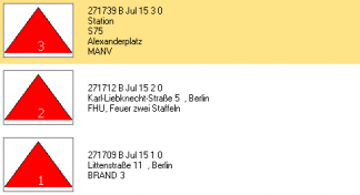
- Transfer operational command from the control center
- Generate operation (resource acquisition)
- Edit operational information, for example key word increase
- Administrate several operations
- Update closed operations
Localizing the operational area
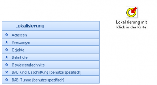
- Automatic import from the command center
- Addresses / Intersections
- Highways, stretches of water
- Fire departments, train stations
- Communal administrative units
- User-defined
Information

- Digital and geospacial location survey
- Tabular information retrieval, for example emergency teams
- Ensuring consistent map data and overview of units
- Further information, including object diagrams and maps
- Incident log and archive
- Integration and evaluation of web services
- Provision of documents pertaining to the operational
- Information distribution via email in real-time
Checklists
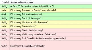
- Data provision via keyword
- Role-based checklists
- Generation of dynamic checklists from analyses
- Checklists according to standard operational procedure
- Processing according to traffic light color codes
- Generating a checklist during the operation
Situation Management
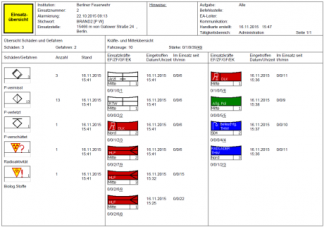
- Tactical symbols according to DV 102
- Resource management simultaneously for multiple operations
- Damage accounts
- Sector management and automatic distribution of units
- Communication overview
- Damage areas
Areas of Analysis
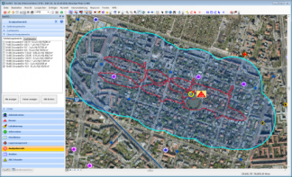
- Model-based, including DISMA, MEMPLEX, Lasair
- Geometric, including radii, background data
- Predefined, including flood zones
- Manually generated
- Imported (Esri formats)
- Buffering of all areas
Analysis
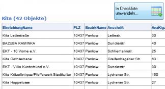
- Spatial data, for example pertaining to potential hazards including population, objects, and evacuation options. Example: population statistics
Your contact person

Carsten Weiske
Tel.: +49 40 / 239 69 63 - 31
Fax: +49 40 / 239 69 63 - 99
Mobile: +49 171 / 22 17 112
© eurocommand 2015 · all rights reserved · imprint · disclaimer · Data protection


